Updated 15 Dec 2006
|
Planting a new oakwood in Dorset
|
|
On 3rd Dec 2006, a combination of high ground water, high wind and
bracket fungus brought down a mature ash in the hedge seperating
fields 5 and 4. We contacted Simon and James, who arrived on 7 Dec
and in 3 hours turned a big tree into a pile of logs.
Measured the dimensions of the fallen ash, the trunk is about 8
meters high, containing perhaps 8 tons of wood. Contracted with Simon
of ATS to cut trunk into half-meter discs, which I will move to the
Plantation to please the insects. The stump is still part-rooted and
may regrow. The bole has swallowed bits of barbed-wire fence, so had
to be left, but just might regrow, and can be used to attach new
barbed-wire to.
|
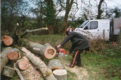
7 Dec 06. Chainsaw at work
Simon at work with his big chainsaw (the smaller one burned its
bearings out). The beastly machine is incredibly efficient. I counted
115 rings on the thickest part of the tree.
|
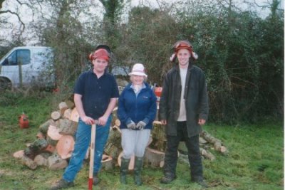
7 Dec 06. James, Rosie and Simon The 115
year old ash tree has been turned into a pile of logs by two young men
in under 3 hours. Simon was quite knowledgeable, and said that
bracket fungus had sealed its fate.
|
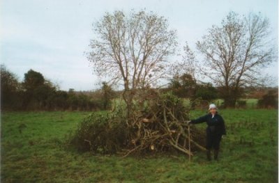
8 Dec 06. Bonfire of twigs
Twigs and branches made quite a pile, but it was a real job to get it
burning. Rosie's persistance paid off, and we left it burning. But it
was out when we returned 4 hours later.
|
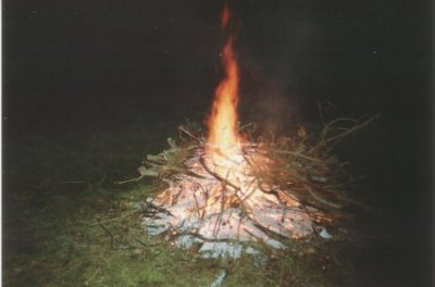
8 Dec 06. Burning in the night
Rosie kept trying, the weather improved, and we got a
big fire going, sparks floating up to the stars, while
owls hooted around us. Magic!
Home after midnight, dehydrated and smelling of wood smoke.
|
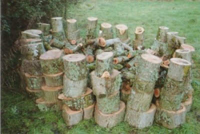
9 Dec 06. The stockade of logs The idea
was to prevent the logs sailing away in the next flood by building
a wall of the biggest logs, to contain the smaller logs inside.
Next summer we'll move it into the Plantation to keep the insects happy.
|
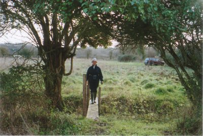
12 Dec 06. A Bridge too Far
The ash fell in the hedgerow just to the right of this 'two-plank'
bridge, crossing the ditch between two fields. This is the route
I take to measure the height of the river Stour.
|
Compiled, formatted, hyperlinked, encoded,
and copyright © 2006,
 All Rights Reserved.
|