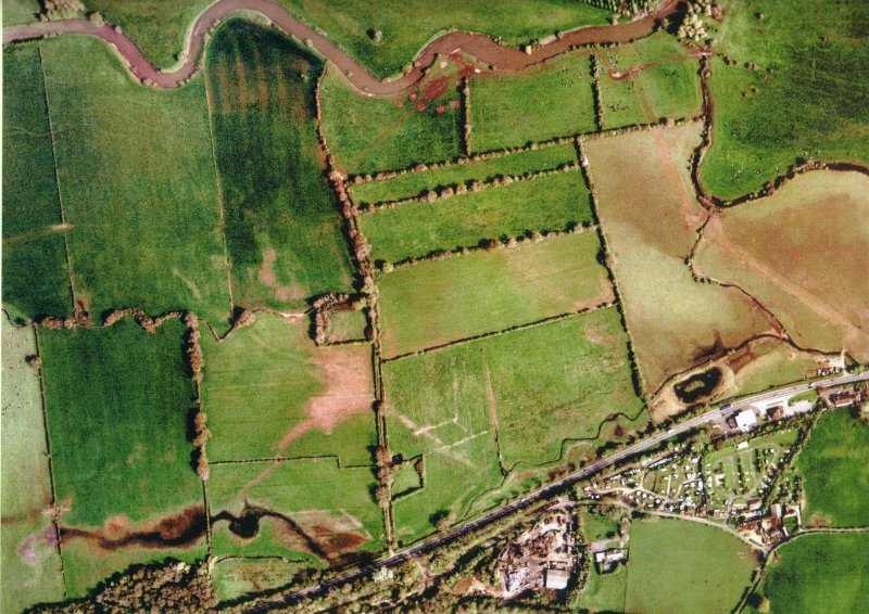
Bear Mead consists of 3 fields
(500 metres) on the right bank of the
River Stour in Dorset, about 2.6 kms
upstream of Julian's Bridge (Wimborne Minster).
The flood plain here stretches 500 metres on each side
of the river, and sometimes floods during the Winter.
Because the grass and soil is underlayed by clay along
this part of the Stour, runoff is quick and the river
rises rapidly but falls quickly as well. Grass is lush
and grows early due to high Watertable in winter,
protecting the grass from frost. Cattle and sheep
on the pasture need a quick and reliable flood warning
so they can be moved in time, hence this website.
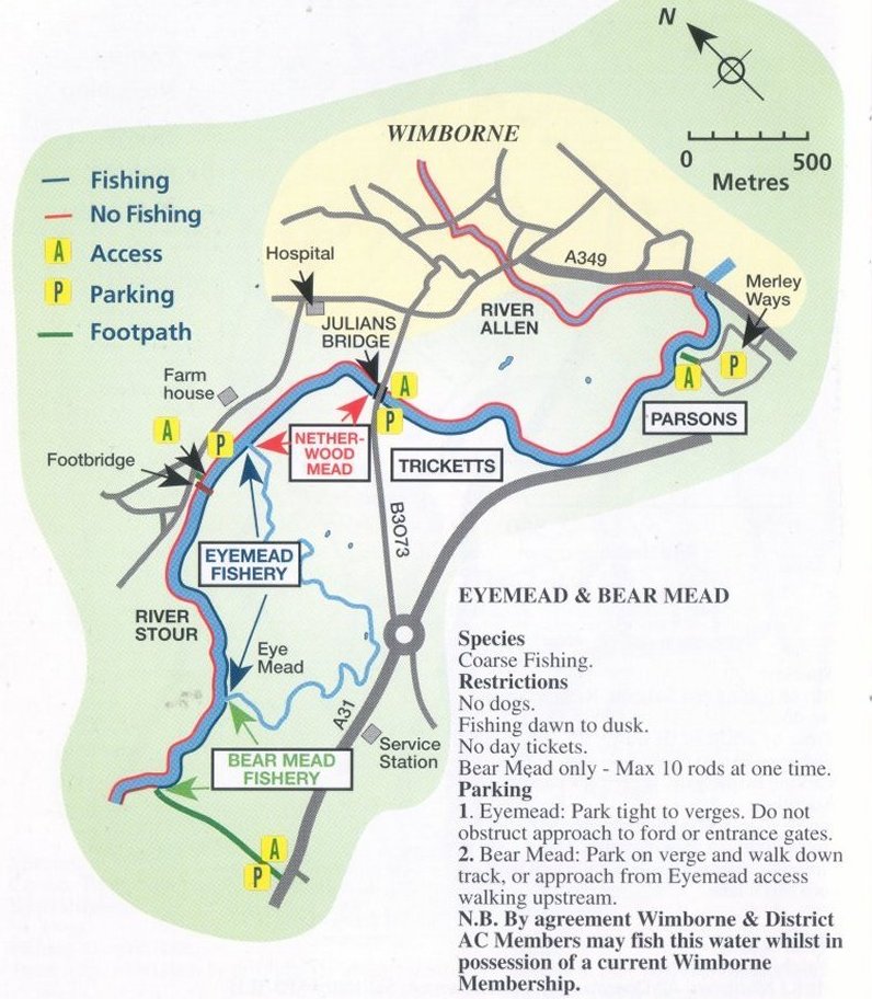
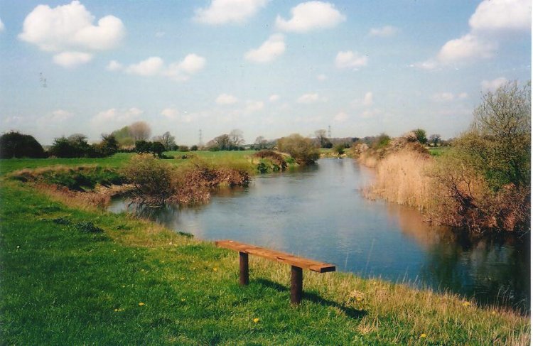
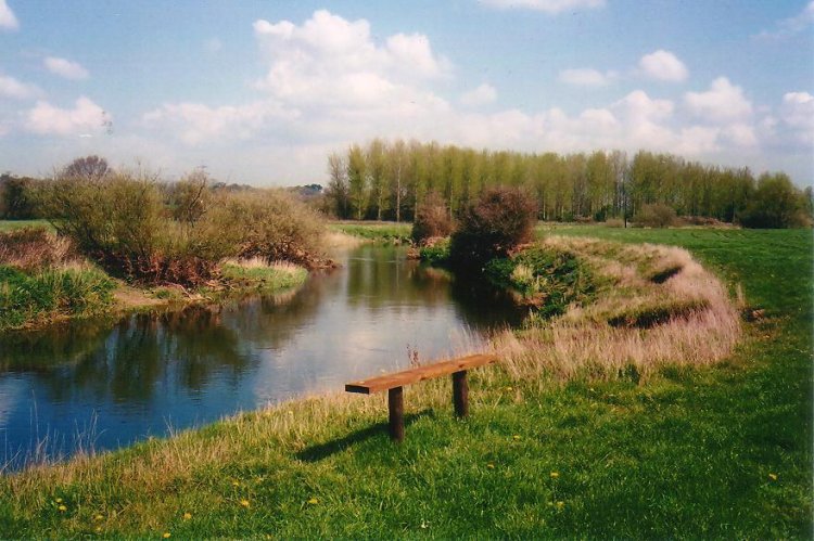
A nearby field has a well, in which the watertable is
measured every day. A scale placed in a bend in the river
is used to measure the river height. Rainfall is measured
at the author's home 2 miles away.
Numbers and graphs
are placed on this website every day (except when the author
is away from home). A forcast of the river height
is made 24 hours ahead, especially after heavy rain.
|
 |
 All Rights Reserved.